Garmin GPSMAP 86S Handheld Navigator - WW Basemaps - Hunting/Camping/Trekking

| $ 599.00 | |
| QTY | |
| SKU | 010-02235-01 |

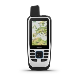
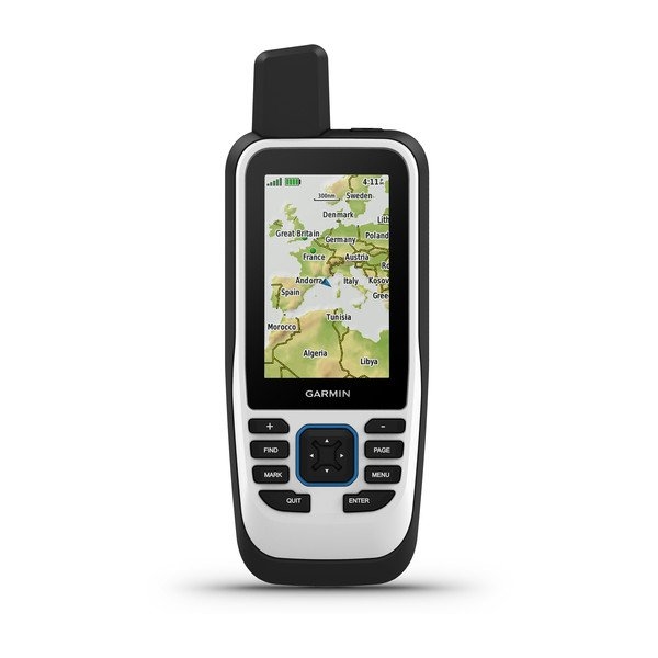
Cast off confidently with the GPSMAP 86s handheld. Whether you’re out for a day of fishing, sailing or cruising, you’ll gain peace of mind that comes from having a backup navigator. This premium handheld floats and has a sunlight-readable 3” color display. Plus, wireless connectivity makes it a virtual extension of your onboard marine system, giving you added awareness and convenience.
Connect with Your Boat
Sync GPSMAP 86s with compatible Garmin chartplotters and instruments, and you’ll see real-time boat data displayed right on your handheld. Plus, it can serve as a remote control for convenient operation of your Garmin autopilot and select FUSION marine products. And when you’re underway, an adjustable GPS filter smooths speed and heading indications as you pass over swells for more accurate tracking.
Optional BlueChart g3 Charts
GPSMAP 86s comes preloaded with a worldwide basemap. It also allows you to add BlueChart g3 coastal charts, giving you industry-leading coverage, clarity and detail with integrated Garmin and Navionics® data. Detailed contours allow you to see 1’ contours that provide a more accurate depiction of bottom structure for improved fishing charts and enhanced detail in swamps, canals and port plans.
Stay in Touch
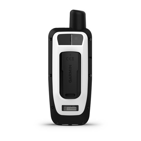
Get smart notifications right on your GPSMAP 86s handheld when you pair it with your compatible smartphone. You can also sync GPSMAP 86s with the Garmin Explore™ website for cloud management of your favorite waypoints, tracks and routes. GPSMAP 86s offers Wi-Fi® connectivity, ANT+® technology and BLUETOOTH® wireless technology for easy wireless updates and connections. And for long voyages, its internal, rechargeable lithium battery provides up to 40 hours of battery life in standard mode and up to 200 hours in expedition mode¹.
SPECIFICATIONS
General
- PHYSICAL DIMENSIONS WxHxD: 2.65" x 7" x 1.7" (6.75 x 17.8 x 4.4 cm)
- DISPLAY SIZE 1.5"W x 2.5"H (3.8 x 6.3 cm); 3" diag (7.6 cm)
- DISPLAY RESOLUTION 240 x 400 pixels
- DISPLAY TYPE transflective, 65K color TFT
- WEIGHT 9.59 oz (272 g)
- BATTERY TYPE rechargeable internal lithium ion
- BATTERY LIFE Up to 40 hours (standard mode); up to 200 hours (expedition mode)
- WATER RATING IPX7
- HIGH-SENSITIVITY RECEIVER
- MEMORY/HISTORY 16 GB
Maps & Memory
- ABILITY TO ADD MAPS
- BASEMAP
- AUTOMATIC ROUTING (TURN BY TURN ROUTING ON ROADS) Yes (with optional mapping for detailed roads)
- EXTERNAL MEMORY STORAGE microSD™ card (not included)
- WAYPOINTS/FAVORITES/LOCATIONS 10000
- TRACK LOG 20,000 points, 250 saved gpx tracks, 300 saved fit activities
- ROUTES 250
Sensors
- BAROMETRIC ALTIMETER
- COMPASS Yes (tilt-compensated 3-axis)
Outdoor Recreation
- AREA CALCULATION
- HUNT/FISH CALENDAR
- SUN AND MOON INFORMATION
- GEOCACHING-FRIENDLY Yes (Paperless)
- CUSTOM MAPS COMPATIBLE
- PICTURE VIEWER
INCLUDES
- GPSMAP 86s handheld with worldwide basemap
- Lanyard
- USB to Micro USB cable
- Documentation